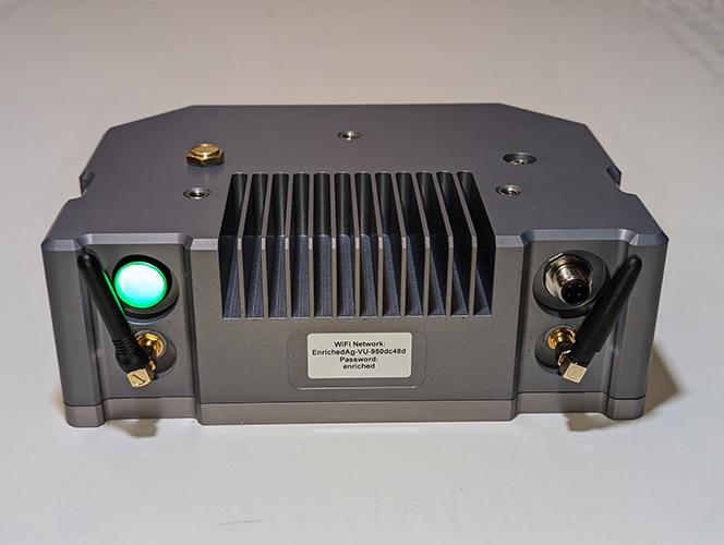
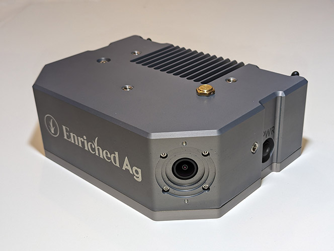
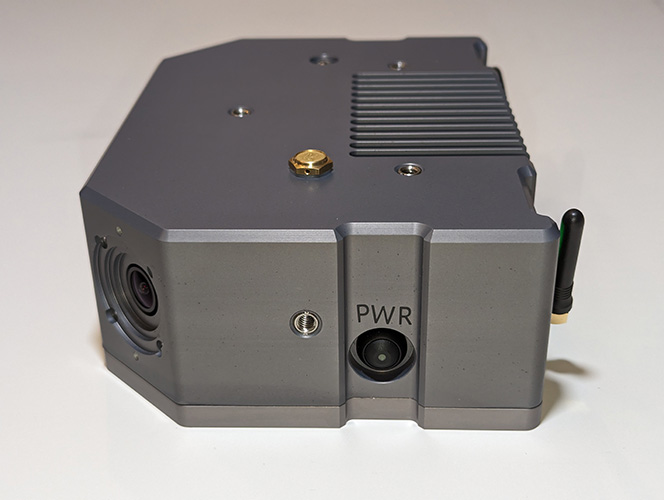
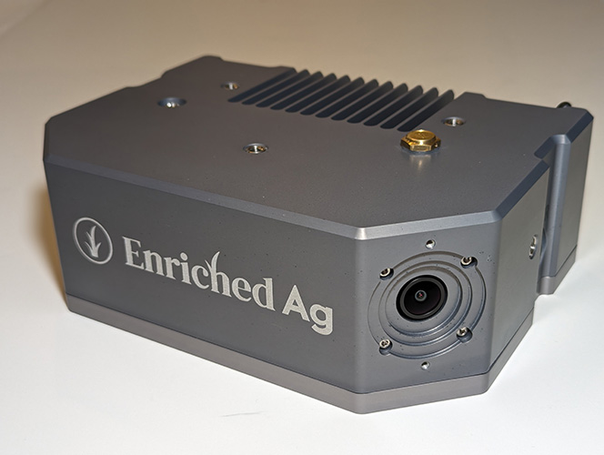
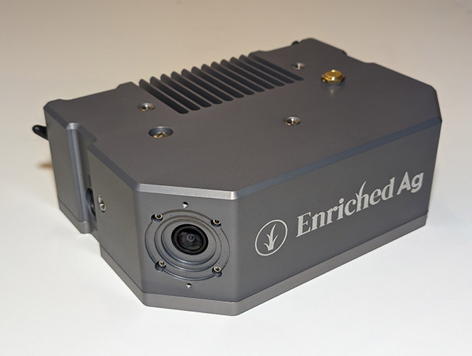
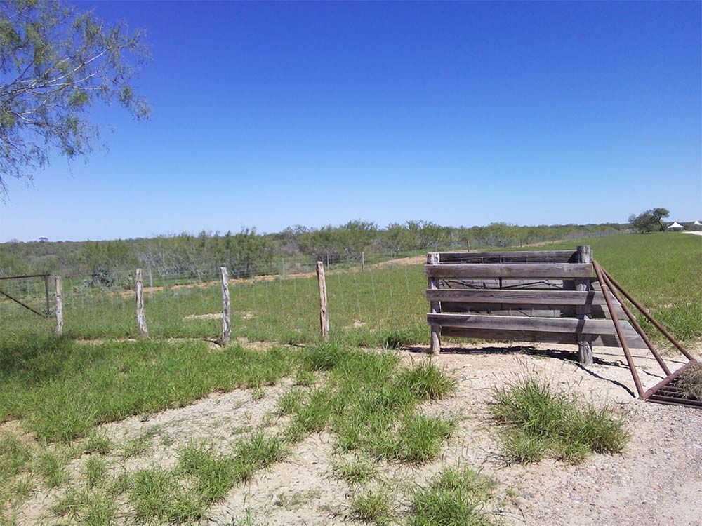
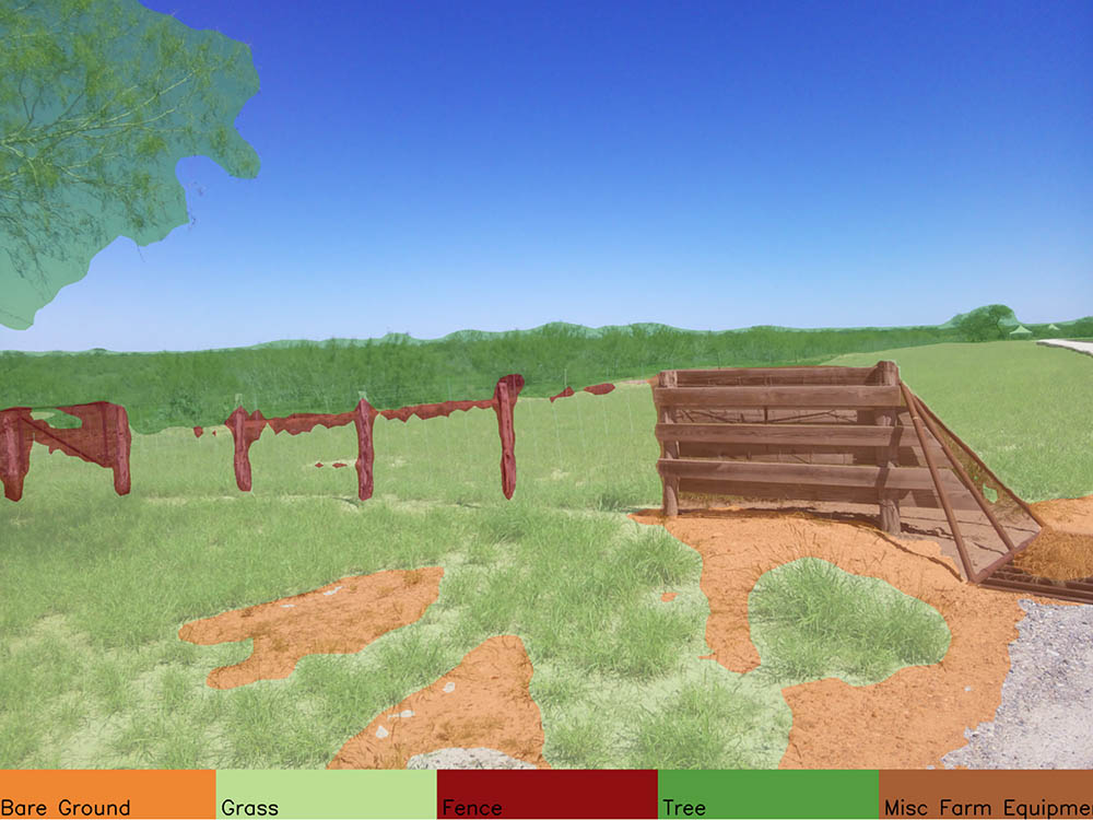
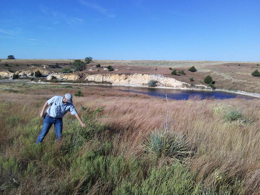
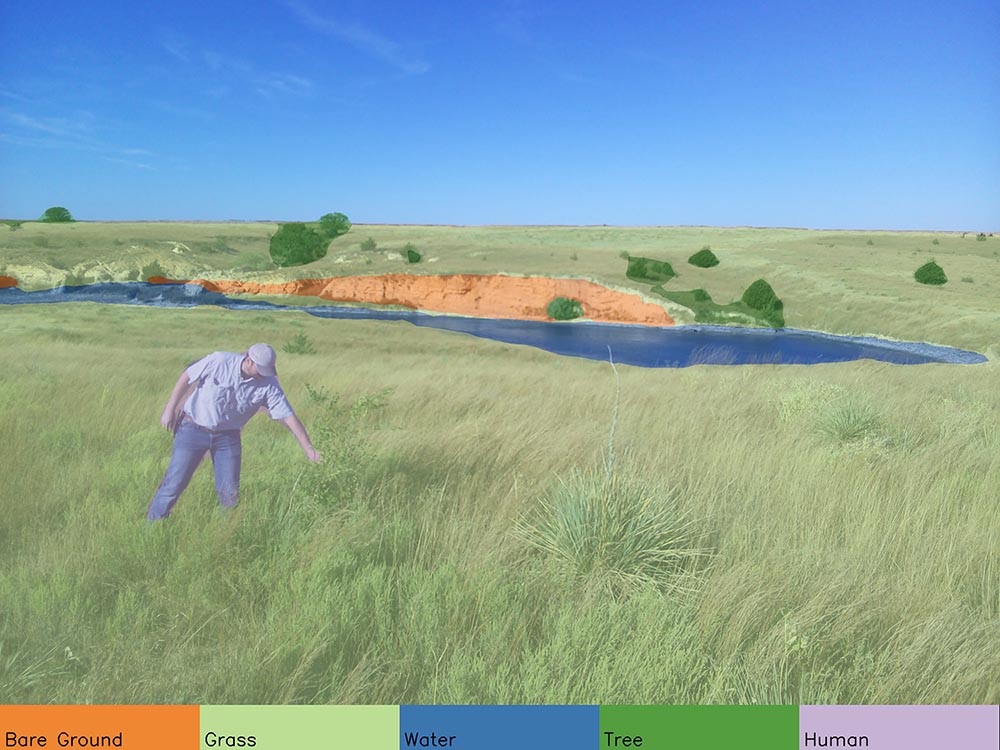
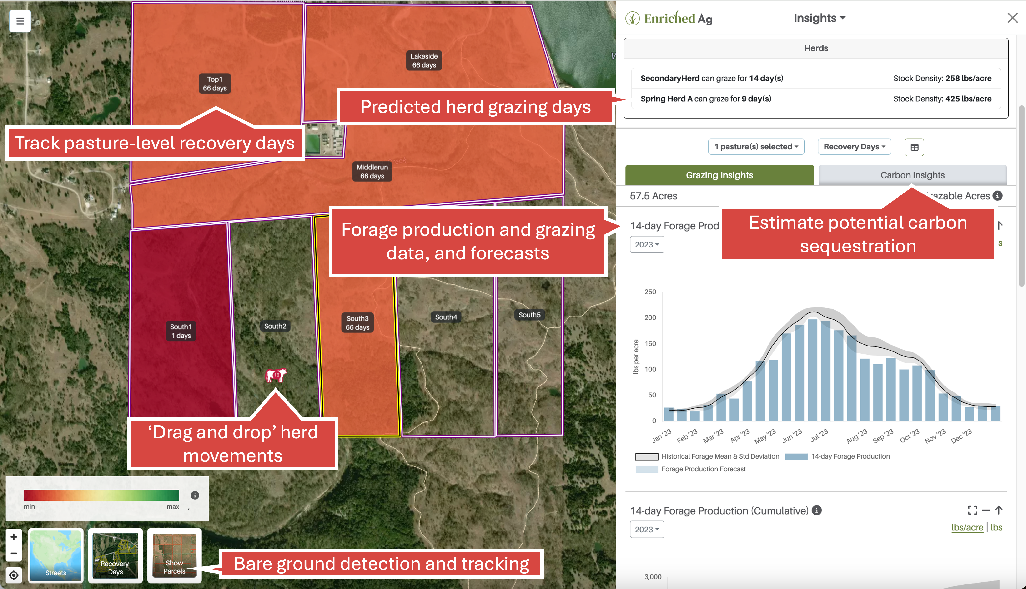
Enriched Ag Vision Image-Based Analysis of Your Land & Livestock What It Does Camera attaches to your UTV, truck or tractor Camera gathers images while you work User receives daily post-drive summaries How to Use It Upload images - with your phone camera or automatically with Enriched Ag Vision over WiFi View the intelligent image library on your mobile device or desktop No advanced knowledge needed to install or use Automatic uploads for processing across shared cloud infrastructure Your Analysis “Google Street View” for Agricultural LandEach photo is AI-analyzed to identify and map: Fence & Other Infrastructure Changes Water Bare Ground Biodiversity Highlight Images Intelligent Image Library The library includes visual, actionable observations about your land. Vision Includes Enriched Ag Insights! View your grazing data, as well as carbon, rainfall and water analytics. Click to learn more. What’s Included in the Box? Each box comes with the following: Enriched Ag Vision (Camera Unit – 8.7′′ x 6.3′′ x 3′′ and 9.4 lbs) Antennas (GNSS and WiFi) Charging Cable Mounting Kit Including a Suction Cup Mount (Truck or UTV) Lens Cloth Cleaning Wipes Quick-Start Guide QR Code Sticker (Access User Interface) Imagery Analysis & Insights with Enriched Ag Vision learn more Analysis and Insights subscription pricing is based on acreage; contact us for a custom quote. Check Out a Demo