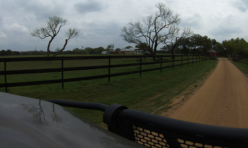
Infrastructure Assets

Capture and upload images

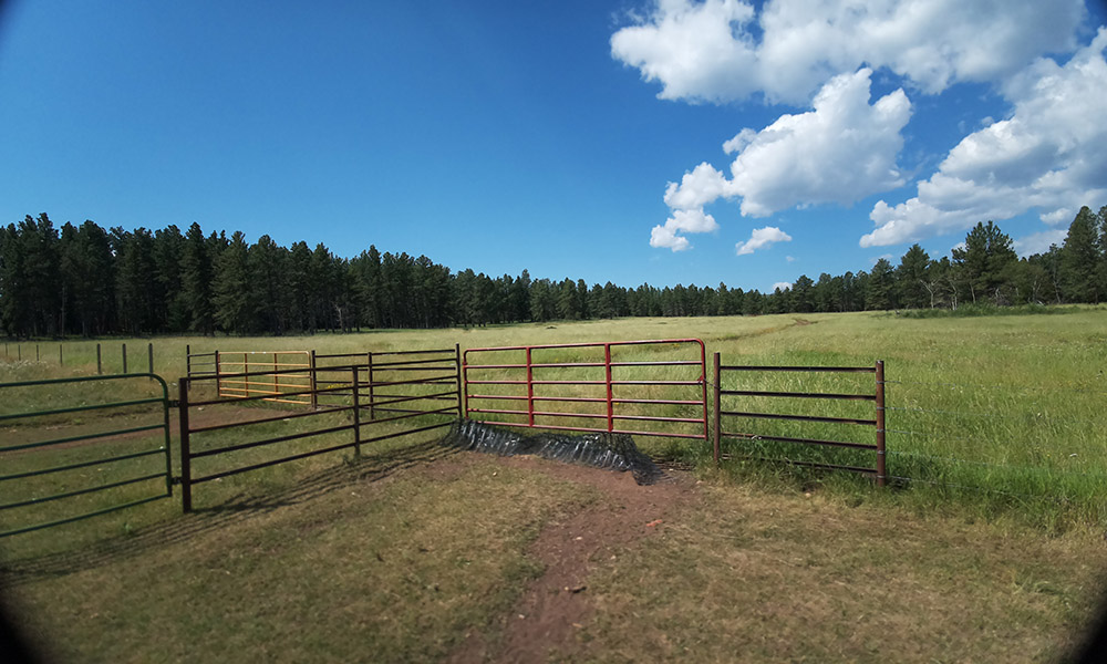
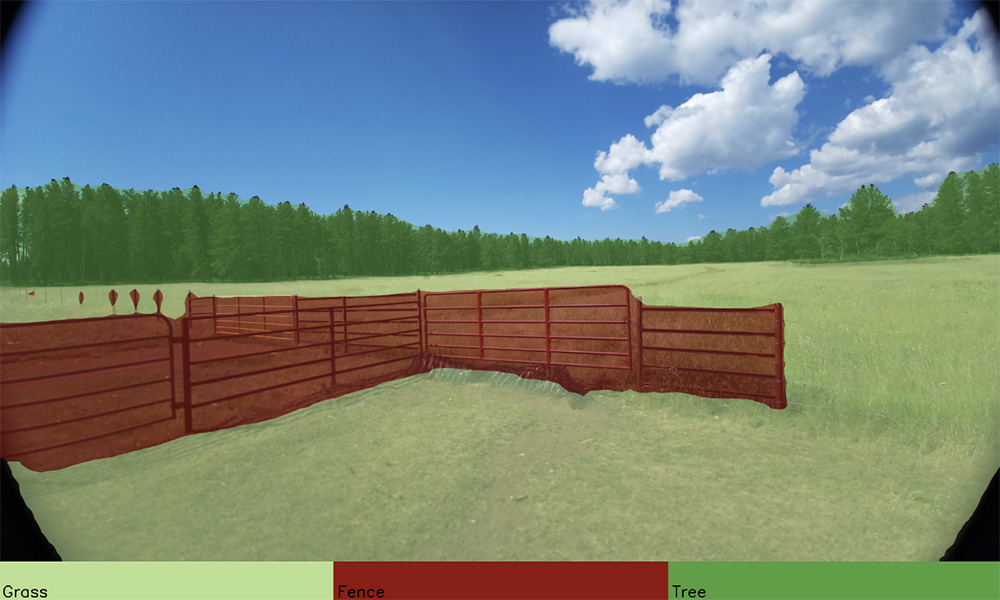
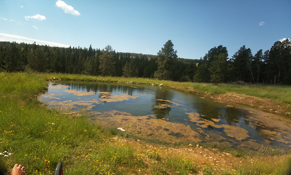
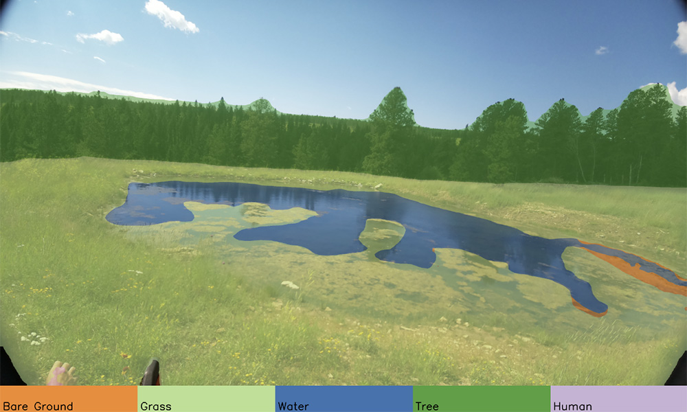
Automatically identify infrastructure and record it on a map

Map boundaries and understand asset integrity
Learn about how our Large Vision Model works
Directional Information / Points of Interest
- View photos taken by left and right cameras in the Enriched Ag Vision unit
- Set points of interest and view them as a list or on a map
- See all images for an identified point of interest, such as a fence, road, water body or building
- Draw a polygon on the map to only view images in a certain area
- Monitor infrastructure changes over time
Interested?
This site is protected by reCAPTCHA and the Google Privacy Policy and Terms of Service apply.
