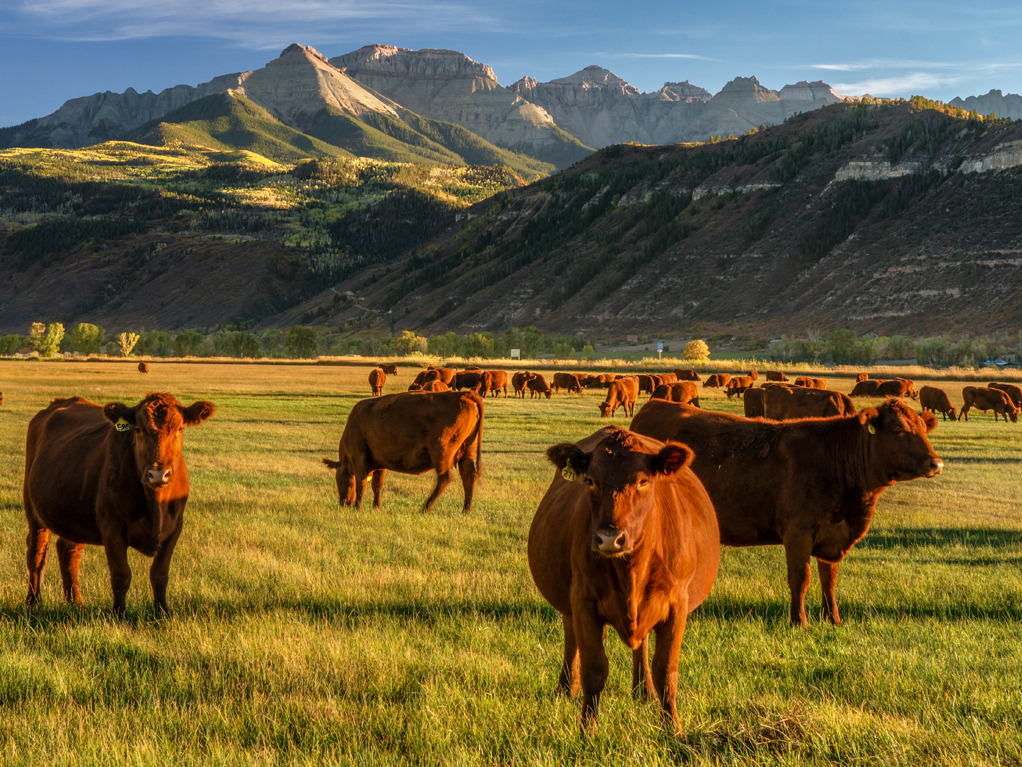
When it comes to grazing management, the basic questions have always been the same: How much forage do I have on my pastures? How many livestock can I graze? How long should I graze each pasture? Is the health of my grazing lands improving?
There are numerous tools and methods available to answer these questions. For example, there are many ways to measure forage production. The simple, quickest method is a visual assessment, although it is probably not one of the most accurate methods. Other methods include clipping by quadrant, pasture sticks, rising plate meters, electronic pasture probes, and others.
Monitoring can be used to measure how the health of your grazing lands is changing over time in response to the management you are applying. Is the amount of bare ground increasing or decreasing? Do I see an increase in undesirable plants (brush, weeds)?
Monitoring does not have to be a complicated process. Photos taken at the same location over time can provide a visual representation of changes. Other methods may require establishing line transects or quadrants and using various sampling procedures, such as line point intercept, basal or canopy gap intercept, and soil stability rating.
However, all these methods require collecting data on the ground. Data are collected in a small area that hopefully is representative of a larger area. Data from these methods must be recorded on paper or entered in a spreadsheet, tool, or application. The data then needs to be analyzed and interpreted.
All these activities have associated time and labor costs. Due to the amount of time and labor needed for all the other activities associated with running a grazing operation, the number of samples collected is usually small and collected infrequently. This results in making decisions based on a limited amount of information.
What other tools or methods are available to collect the same data?
Satellite imagery and drones coupled with machine learning provide opportunities for collecting and analyzing data much more efficiently and in a timely manner. Satellite and drone imagery can observe larger areas than possible with ground measurements.
Drones can provide very high-resolution imagery at a scale somewhere between satellite imagery and ground measurements. Drones are portable and can be used anytime weather conditions are favorable for flying. Drones can sometimes provide better estimates of soil and vegetation changes than ground-based measurements.
For example, drones can be used to provide better estimates of changes in percent bare ground. Percent bare ground is an excellent indicator of changes in soil health and soil erosion. Drones can also be used to monitor livestock and their movements.
There are applications today that use satellite imagery to provide biomass production data, production data forecasts, and changes in vegetation cover. The different types and amounts of data available today to answer almost any question can be overwhelming. The challenge is how to aggregate and analyze the appropriate data to answer the rancher’s questions.
Enriched Ag has a better solution
Enriched Ag is partnering with ranchers throughout the U.S. to address this challenge. Working with the ranchers, we are identifying the appropriate remote sensing tools and techniques (satellite imagery, drones, cameras, etc.) needed to answer their questions, and evaluating new, innovative ways of using existing remote sensing technology to answer rancher-specific questions.
With feedback from the ranchers, we’re exploring ways to visualize this aggregated data (maps, graphs, tables, photos, etc.) in a manner that is easily understood.
With increased operating costs and reduced profit margins, ranchers need information that is readily available, up-to-date, and organized in a manner to assist them in making data-driven, well-informed grazing management decisions.
— George Peacock, Grazing Lands Technology Consulting Expert