Enriched Ag Vision users can explore their data in a more powerful way with the company’s latest feature releases, which includes directional information for images captured. Imagine having the opportunity to see all of the images for a specific point of interest, such as a patch of bare ground, forage area, tree or shrub over time. Pre- and post-treatment evaluations become much simpler. Data, by location, is incredibly precise.
Now, when users zoom into a drive captured by their Enriched Ag Vision unit, they can see photo perspectives from each of the two cameras available in the unit. There is a left camera and right camera, pointing out from the unit at 45-degree angles. The map shows a slight displacement from the drive line to detail which camera took the image.
“The machine learning part of our offering is about ‘What’s in the image?’” says Michael Kaminsky, Enriched Ag’s chief science officer. “This particular set of features is more about ‘Where is the image being taken?’ and ‘Where am I looking when I take the image?’”
However, knowing which camera took the image is only part of the puzzle, Kaminsky says.
Other ways to use directional information
“The other thing we’ve been able to do is give you the ability to see what field of view the camera is actually capturing,” he added. “That’s a toggle you can turn on, and it shows you a cone that depicts the 90-degree field of view being captured.”
Users can click one of the cones for a larger overlay that shows exactly what the camera is capturing. They can also view the “mini-map” alongside the image for more context regarding the location, as well as study the drive on an image-by-image basis, similar to using Google Street View.
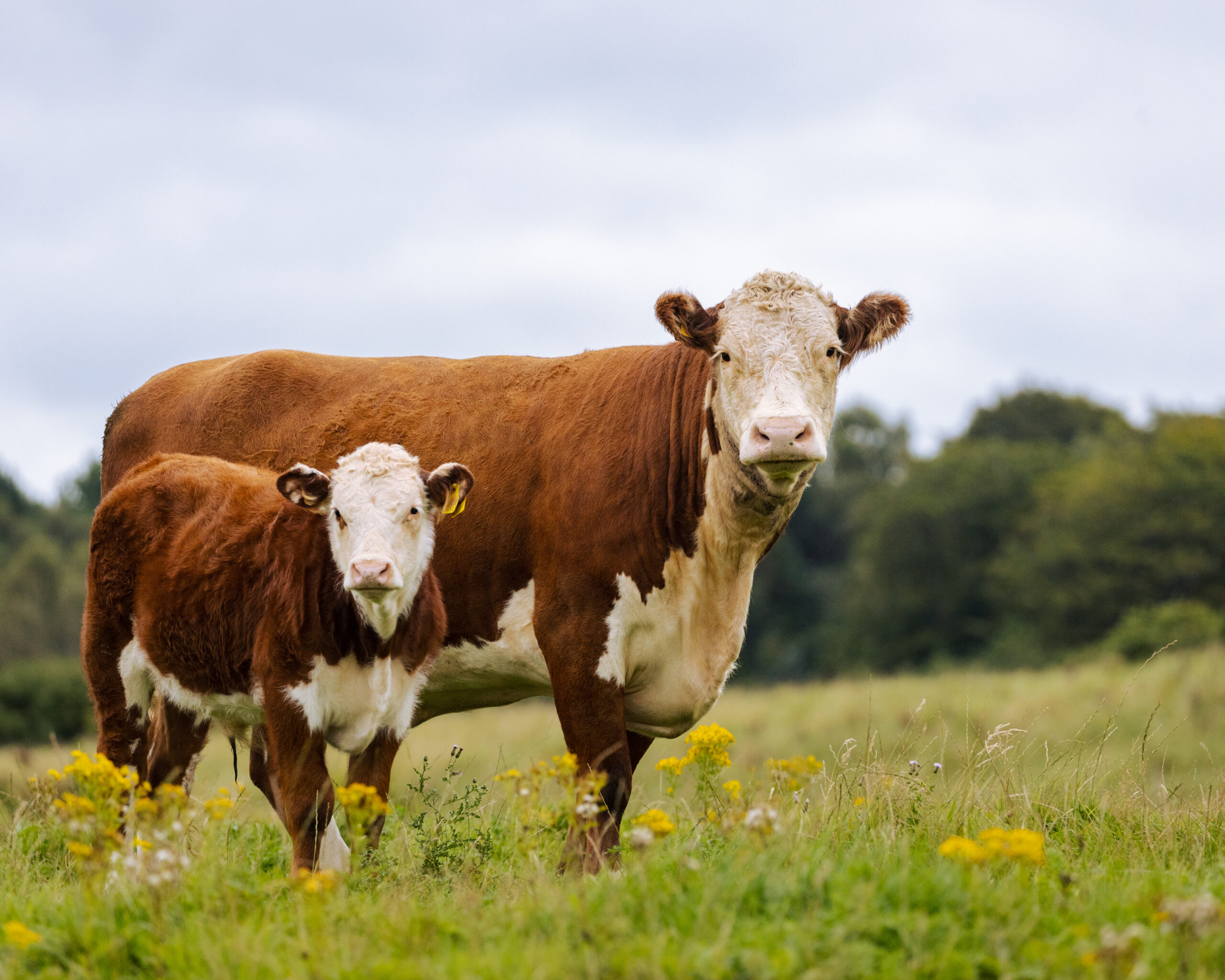
Another filter allows users to look at images captured by the right or left camera. Or, they can look at paired images from both cameras, which produces a “panoramic view” of what’s going on outside of the vehicle’s dashboard (see image above).
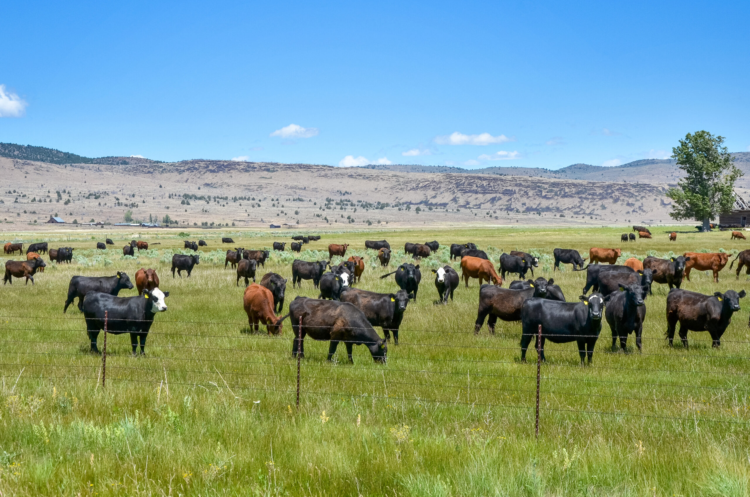
Customers can explore imagery data in a particular region with the geographic filter, which is a globe button that lets users draw a circle on a map. They can deploy this filter to look at images only in the circled region over a certain time frequency or with certain selected tags, such as animals, water and bare ground (see image below).
The latest feature release includes the ability to pinpoint and evaluate a specific target, or a “point of interest.” With this addition, users can evaluate all imagery that contains a certain object, such as a tree on the property. (Check out Part 2 to learn more about points of interest.)
The Enriched Ag team will continue to provide features that give customers the opportunity to better sort and classify their data. Have questions or interest in our products? Reach out to our sales team for more information.
— The Enriched Ag Team